TECHNOLOGIAL AND SCIENTIFIC ADVANCES IN NAVIGATION

Storyboard Text
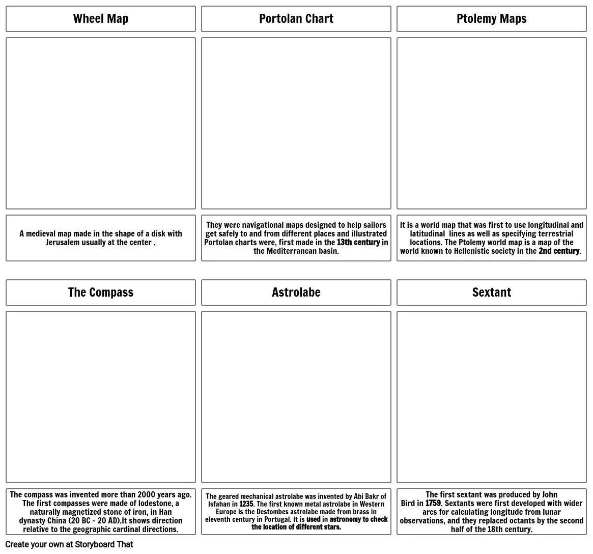
- Wheel Map
- Portolan Chart
- Ptolemy Maps
- A medieval map made in the shape of a disk with Jerusalem usually at the center .
- The Compass
- They were navigational maps designed to help sailors get safely to and from different places and illustrated Portolan charts were, first made in the 13th century in the Mediterranean basin.
- Astrolabe
- It is a world map that was first to use longitudinal and latitudinal lines as well as specifying terrestrial locations. The Ptolemy world map is a map of the world known to Hellenistic society in the 2nd century.
- Sextant
- The compass was invented more than 2000 years ago. The first compasses were made of lodestone, a naturally magnetized stone of iron, in Han dynasty China (20 BC – 20 AD).It shows direction relative to the geographic cardinal directions.
- The geared mechanical astrolabe was invented by Abi Bakr of Isfahan in 1235. The first known metal astrolabe in Western Europe is the Destombes astrolabe made from brass in eleventh century in Portugal. It is used in astronomy to check the location of different stars.
- The first sextant was produced by John Bird in 1759. Sextants were first developed with wider arcs for calculating longitude from lunar observations, and they replaced octants by the second half of the 18th century.
Over 30 Million Storyboards Created

