Science CPT Part 2

Storyboard Text
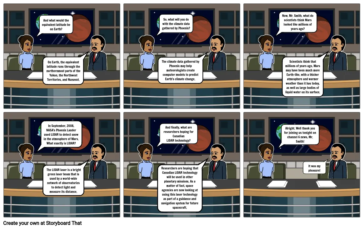
- And what would the equivalent latitude be on Earth?
- On Earth, the equivalent latitude runs through the northernmost parts of the Yukon, the Northwest Territories, and Nunavut.
- So, what will you do with the climate data gathered by Phoenix?
- The climate data gathered by Phoenix may help meteorologists create computer models to predict Earth's climate change.
- Now, Mr. Smith, what do scientists think Mars looked like millions of years ago?
- Scientists think that millions of years ago, Mars may have been much more Earth-like, with a thicker atmosphere and warmer weather than it has today, as well as large bodies of liquid water on its surface.
- In September, 2008, NASA's Phoenix Lander used LIDAR to detect snow in the atmosphere of Mars. What exactly is LIDAR?
- The LIDAR laser is a bright green laser beam that is used by a world-wide network of observatories to detect light and measure its distance.
- And finally, what are researchers hoping for Canadian LIDAR technology?
- Researchers are hoping that Canadian LIDAR technology will be used in other planetary missions. As a matter of fact, space agencies are now looking at using this laser technology as part of a guidance and navigation system for future spacecraft.
- Alright. Well thank you for joining us tonight on channel 6 news, Mr. Smith!
- It was my pleasure!
Over 30 Million Storyboards Created
No Downloads, No Credit Card, and No Login Needed to Try!


